


New York City - Flushing
/
How to get there:
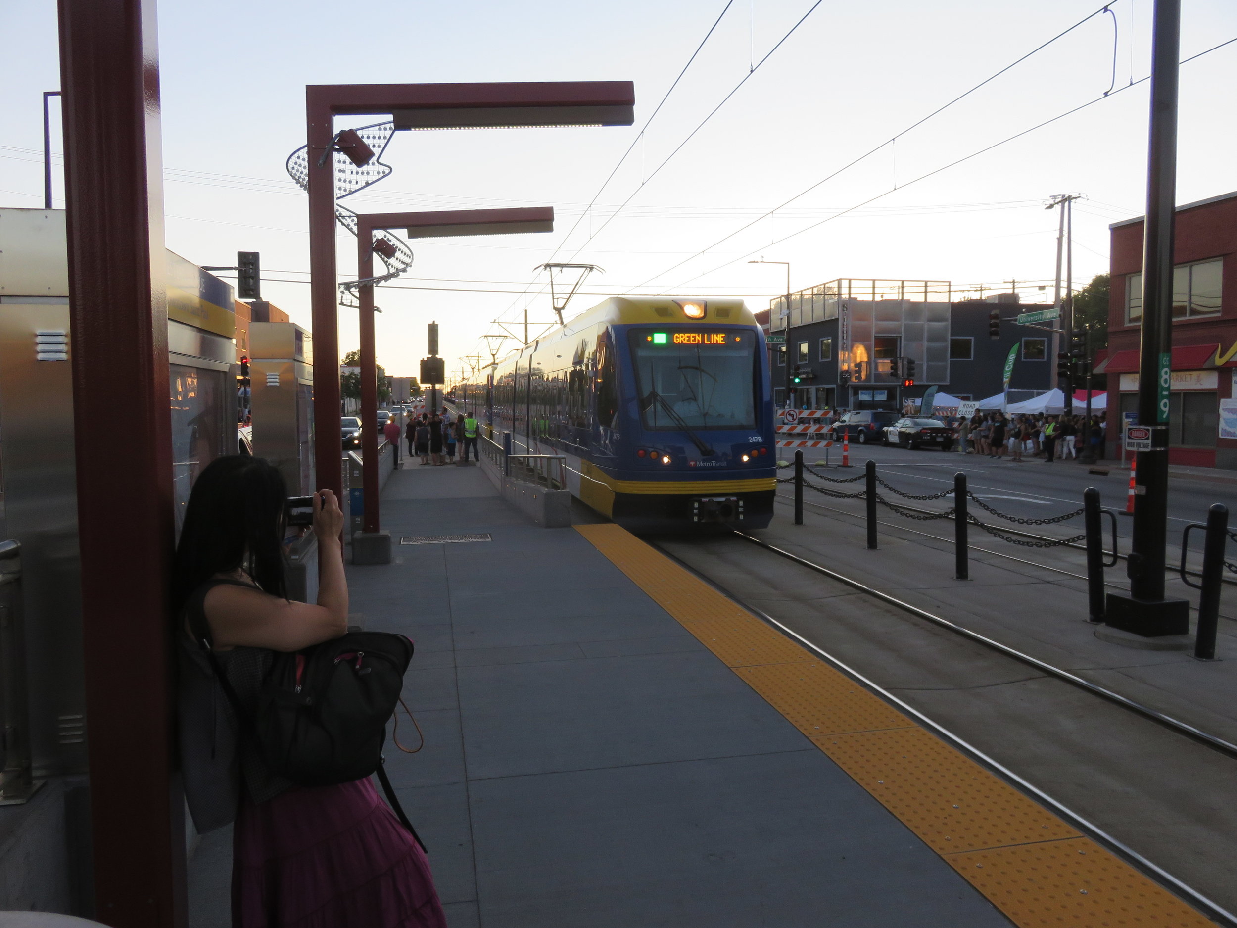
The 7 subway is the easiest way to reach downtown Flushing, as the line terminates right in the middle of the shopping district. The Long Island Rail Road is another option for travelers coming from Manhattan’s Penn Station; the LIRR station literally empties onto Main Street.

Click to open the full MTA subway map
From LaGuardia Airport, the Q48 local bus also routes directly into downtown Flushing.

Depending on the length of your stay, a multi-ride MetroCard from the MTA can represent a great bargain, and makes New York City very easy to get around.

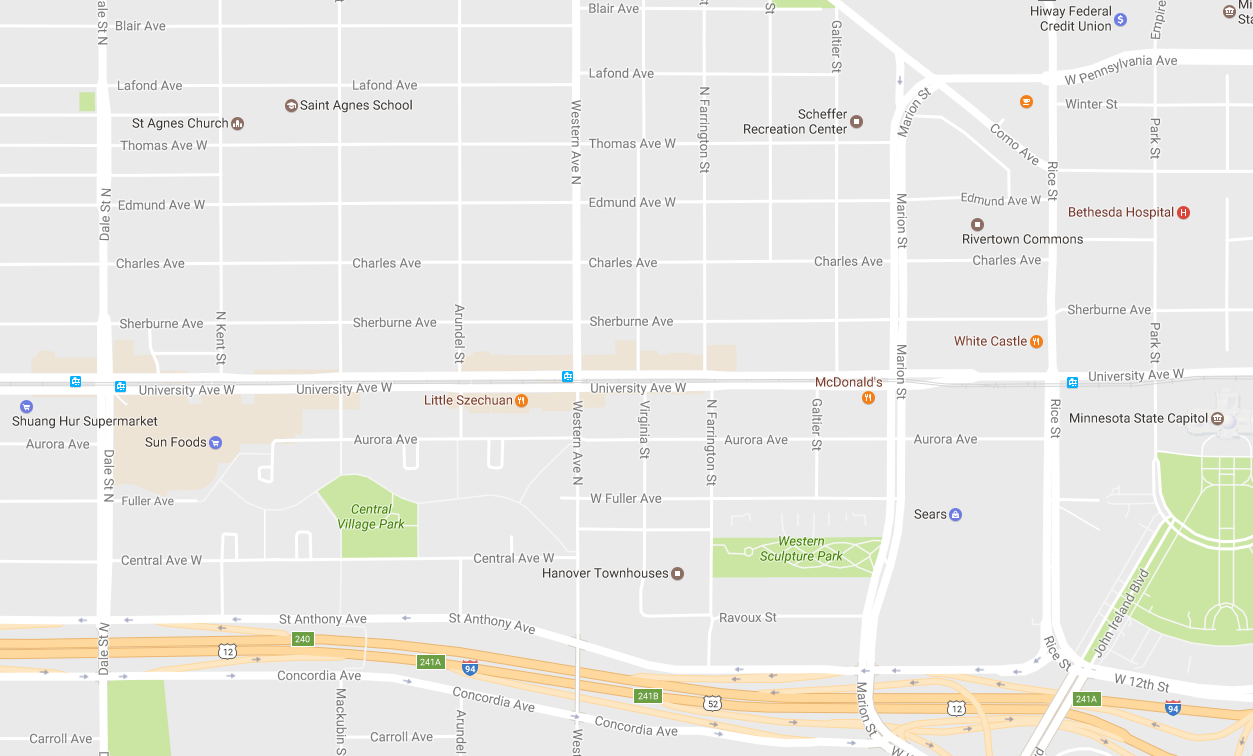
Click to open in Google Maps

CLICK TO OPEN THE FASCINATING UNIVERSITY OF VIRGINIA COOPER CENTER MAP PROJECT TO VISUALIZE ETHNIC PATTERNS FROM THE 2010 CENSUS.
A brief history:
The economic malaise of the 1970s hit New York City particularly hard. As factories left for southern states and corporate headquarters followed, jobs disappeared for the poor, middle-class, and upper class all at the same time. As workers started leaving the city to try to find employment elsewhere, the first big wave of retirees started moving away to the Sunbelt. These two outbound migrations brought property values down across the city – remember, at this time even Manhattan still had block after block of abandoned tenements and warehouses.
Flushing, the community on the eastern border of Queens borough and prime example of a commuter suburb, was triply affected because of its proximity to LaGuardia and Kennedy Airports: those jobs also saw sustained cuts in the late 70s and early 80s. The Greek and Italian families who had built the town could no longer afford to stay, or wanted to leave for warmer weather – and they left, regardless of the price they could get.
The people who stayed were the nucleus of a small Japanese community and a few Chinese who had sought a better place to live than the overcrowded, crime-infested Chinatown in Manhattan. These were also Mandarin-speakers, a minority in the largely Cantonese enclave in the City.
By the late 1970s, Taiwan’s economy and civil society had started its recovery, and thousands emigrated to America for even more freedom and opportunity. These people were native Mandarin-speakers and also quite comfortable dealing with Japanese – and they found Flushing quite hospitable. As these newcomers told their families and friends and business associates about the pleasant setting and bargain property prices, the population boomed: by the mid-1980s Flushing was called “Little Taipei”.
With the proliferation of Mandarin-speakers and the shops and businesses they started in the 1980s, Chinese from other northern provinces, newly able to leave the People’s Republic, were attracted to Flushing, too. Even a sizeable Korean population found its way there (although its ongoing development would lead to “Long Island Koreatown” taking shape along Northern Boulevard just to the east of Flushing’s downtown.)
By the time of the economic boom of the Clinton years of the 1990s, then, Flushing was very well-positioned with convenient airport and ocean access for international trade, strong banking connections, a well-educated workforce, and prime position on key commuter rail lines into Manhattan’s heart. In-migration has continued, adding Southeast Asian and South Asian/Subcontinent ties and flavors to the dynamic mix. Walking up out of the subway station, on a summer’s day, you will feel as if you’ve been teleported into an Asian city – but make no mistake, there’s nowhere else this could have happened but in America!
What to see and do:
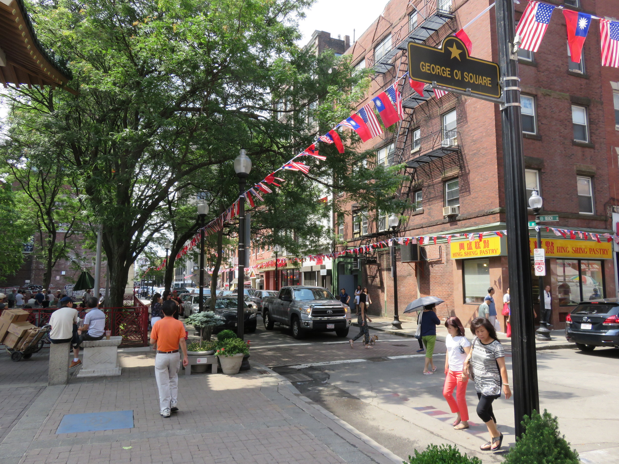
Downtown Flushing is compact- from the subway station or LIRR stop, all the key attractions and hotels (below) are within a quarter-mile radius. But, your family can easily spend a half-day or more wandering the neighborhood. Just keep an empty stomach before arriving!

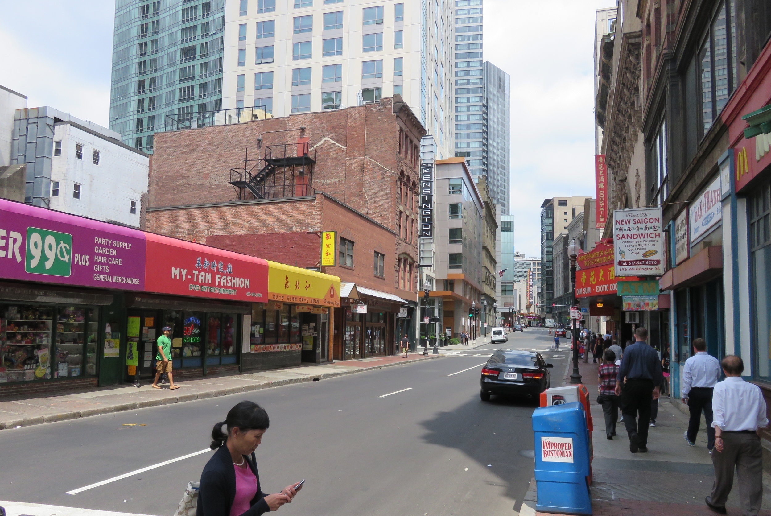
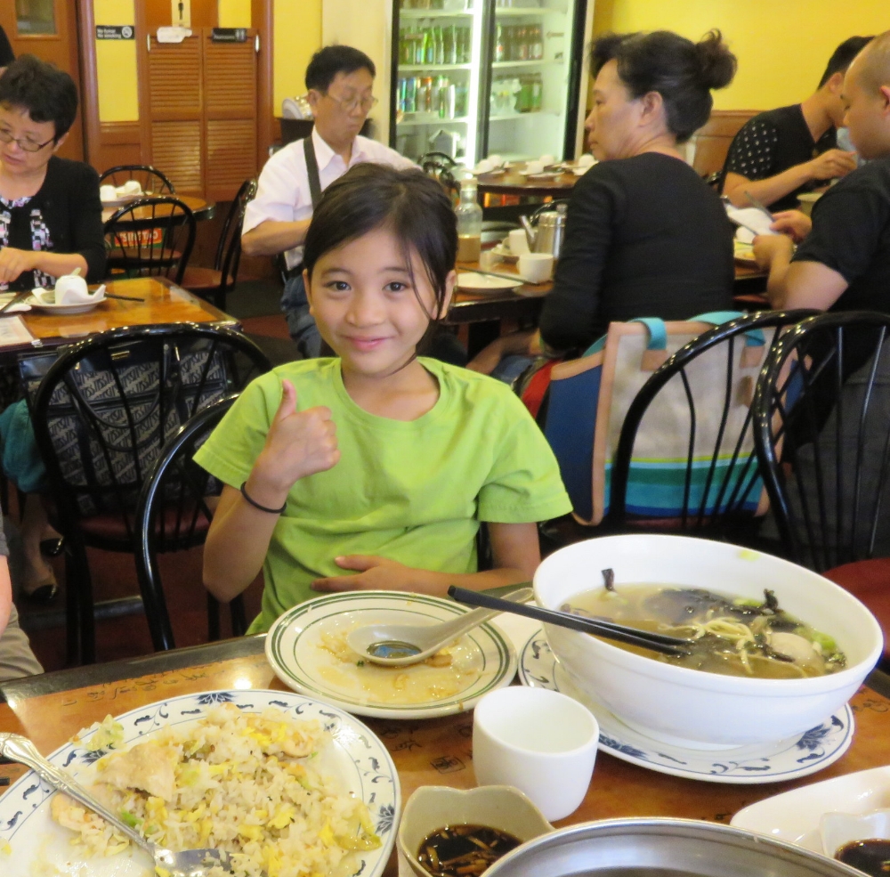
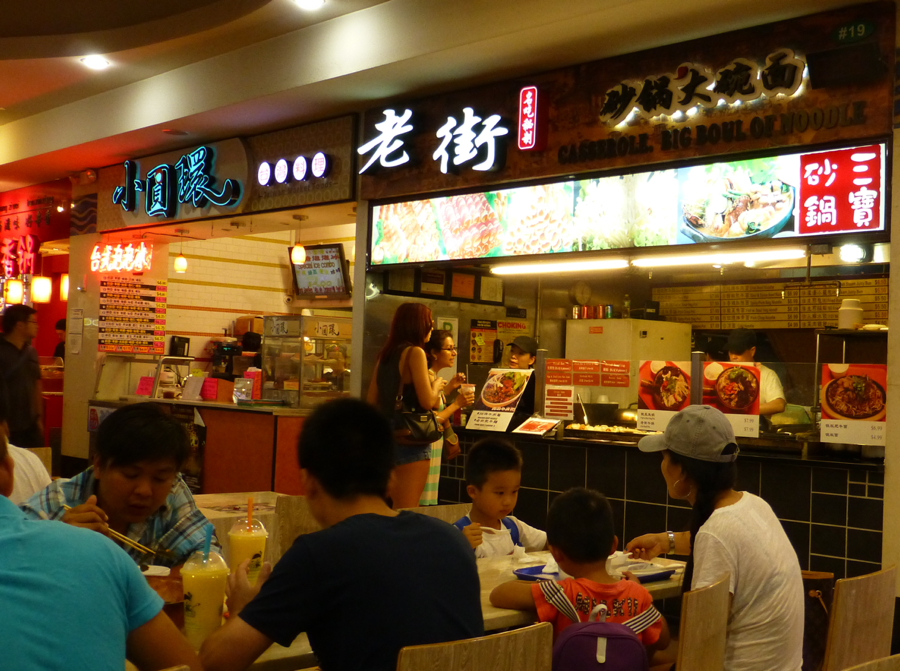
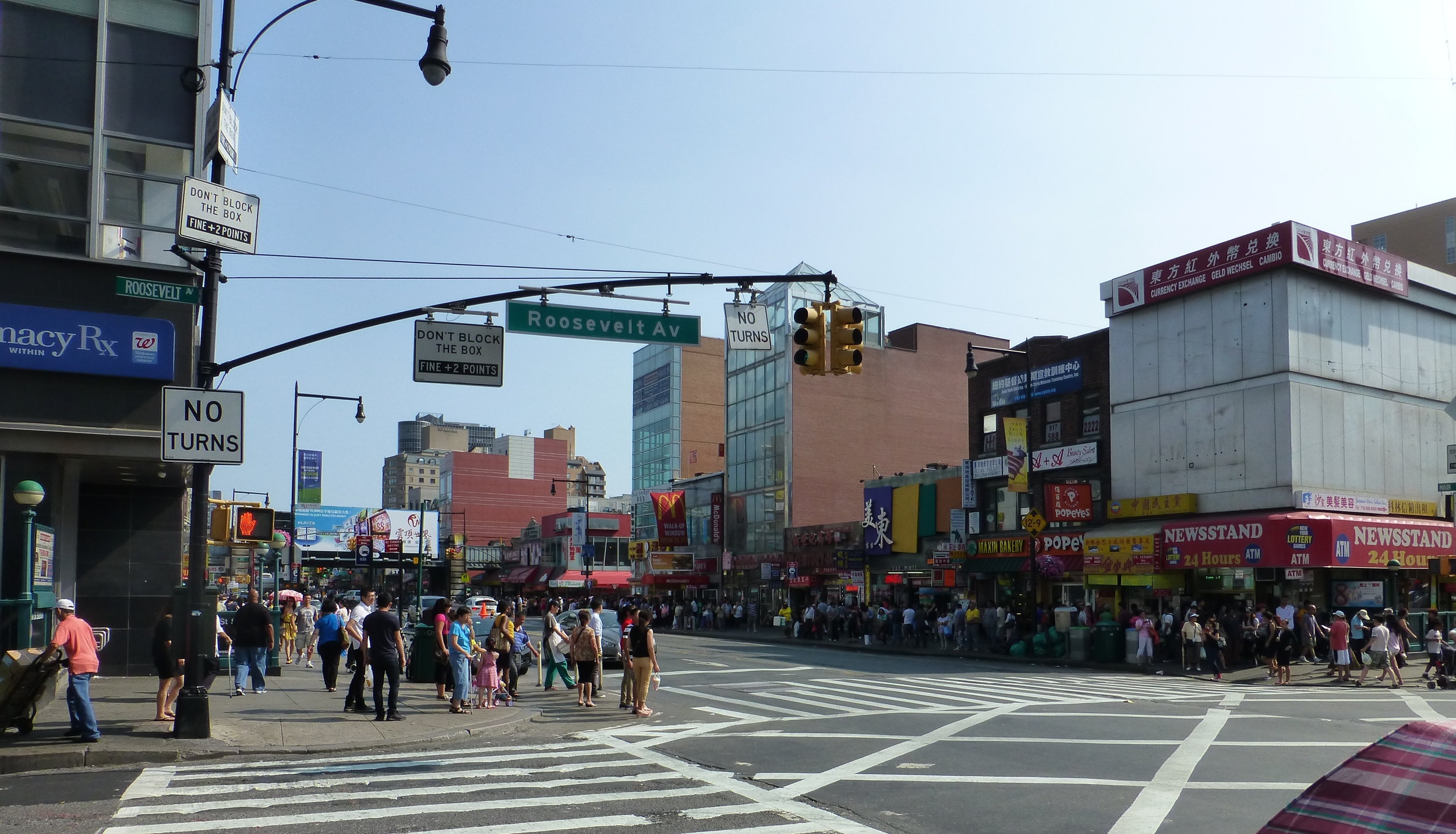
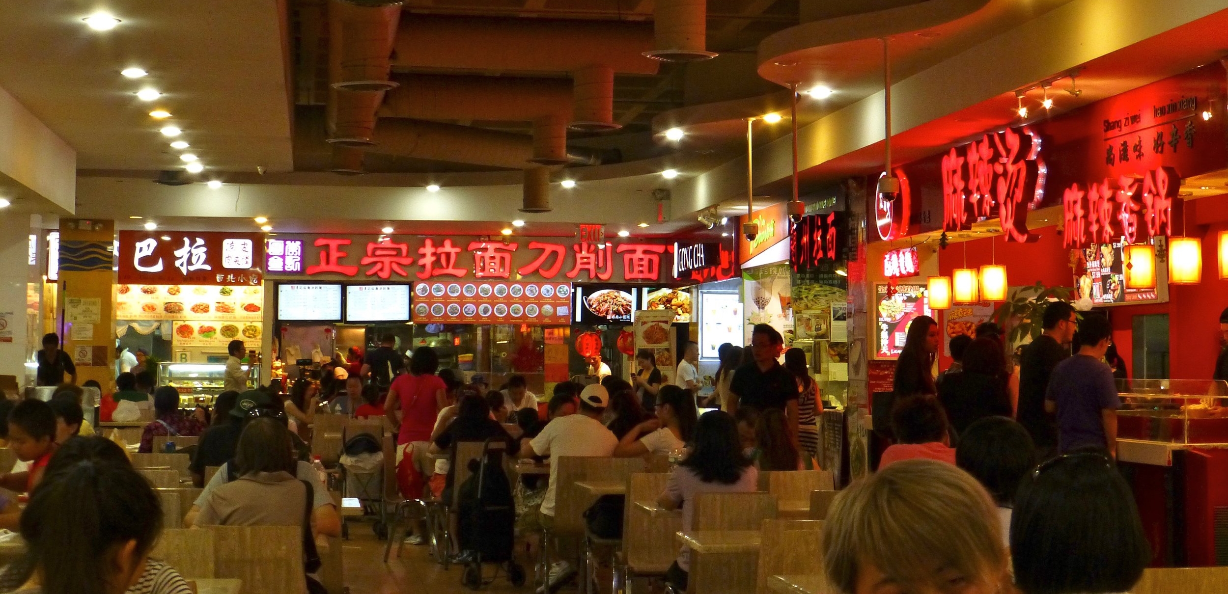
The intersection of Main Street and Roosevelt Avenue is where transit drops a traveler off and it is the pulsing heart of downtown. Most of the southeast block is taken up by the New World Mall, a three-story shopping center with clothing, electronics, children’s gear, cosmetics and beauty, media, and jewelry stores. Its lower-level food court is legendary: over 30 shops with specialties from across Asia, including several franchisees of chains from Taiwan. There’s also a Macy’s just to the east, and a J-Mart full-sized supermarket tied into the mall.


Walking south along Main and under the LIRR tracks, Kissena Boulevard splits off at an angle to frame the modern architecture of the Queens Public Library, notable for its international language collections – over 15 languages are supported with current periodicals, reference materials, and over 50,000 books!
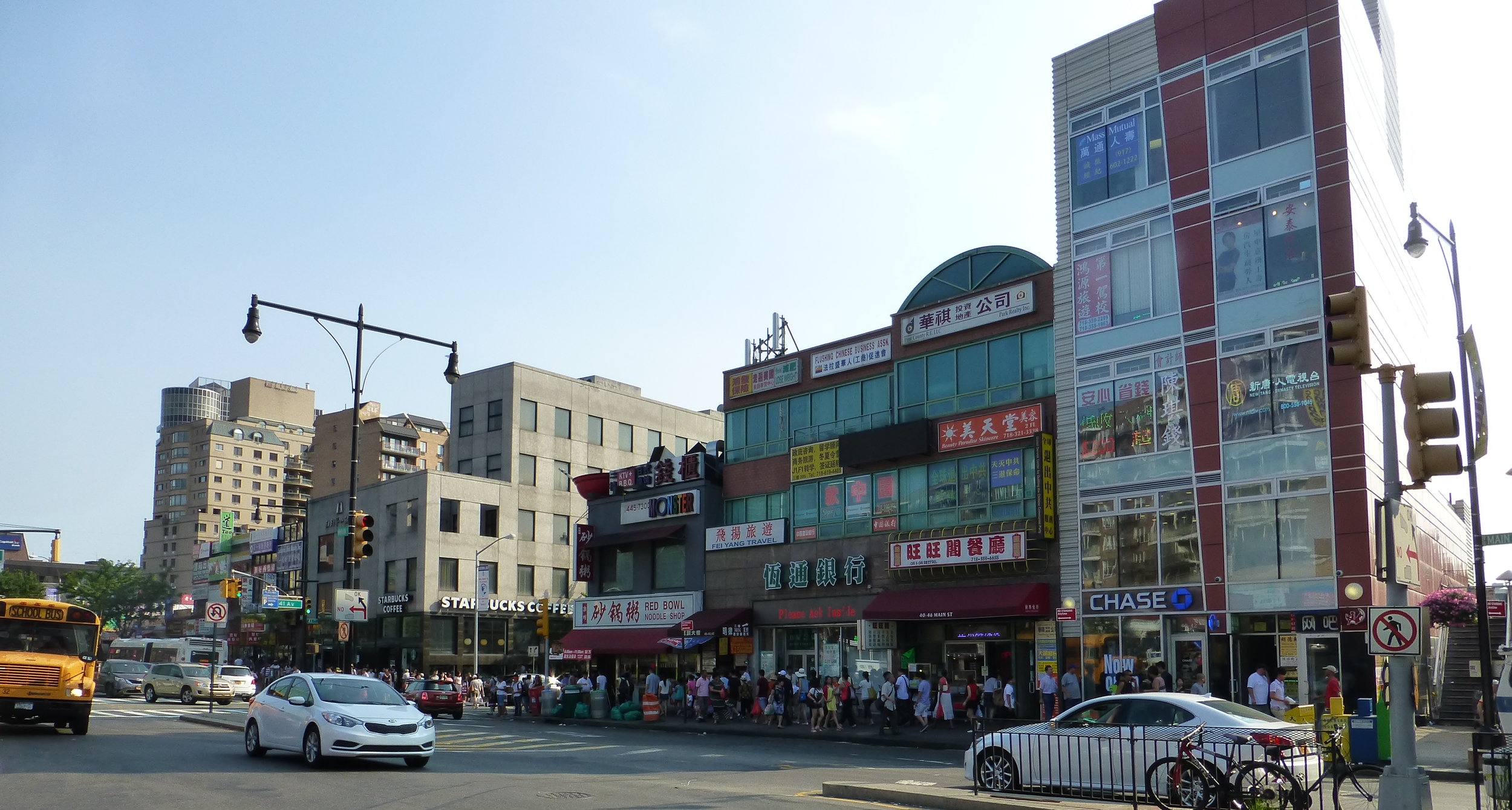
Look for the giant red bowl above the "Red Bowl Noodle Shop" in the middle of the picture...
Restaurants and karaoke joints, bakeries and banks line the street southbound for several blocks beyond the library before residential buildings become more common.
Heading west from the Main-Roosevelt intersection are more specialty shops, restaurants and KTVs, a block of housing towers, and then the massive Flushing Mall, where you’ll find a Target, Marshalls, and Best Buy; pretty standard suburban fare but there is a hotpot restaurant and an Asian grocery inside…
North of the Main-Roosevelt intersection is the St. George’s Episcopal Church, over 300 years old, and opposite it, Queens Crossing, the ‘upscale’ mall in Flushing with interior design and furniture stores, and a two-story food court / restaurant complex.
Two more blocks northbound are filled with still more local services and specialty stores, ending at the busy thoroughfare of Northern Boulevard and the transition into Long Island Koreatown.
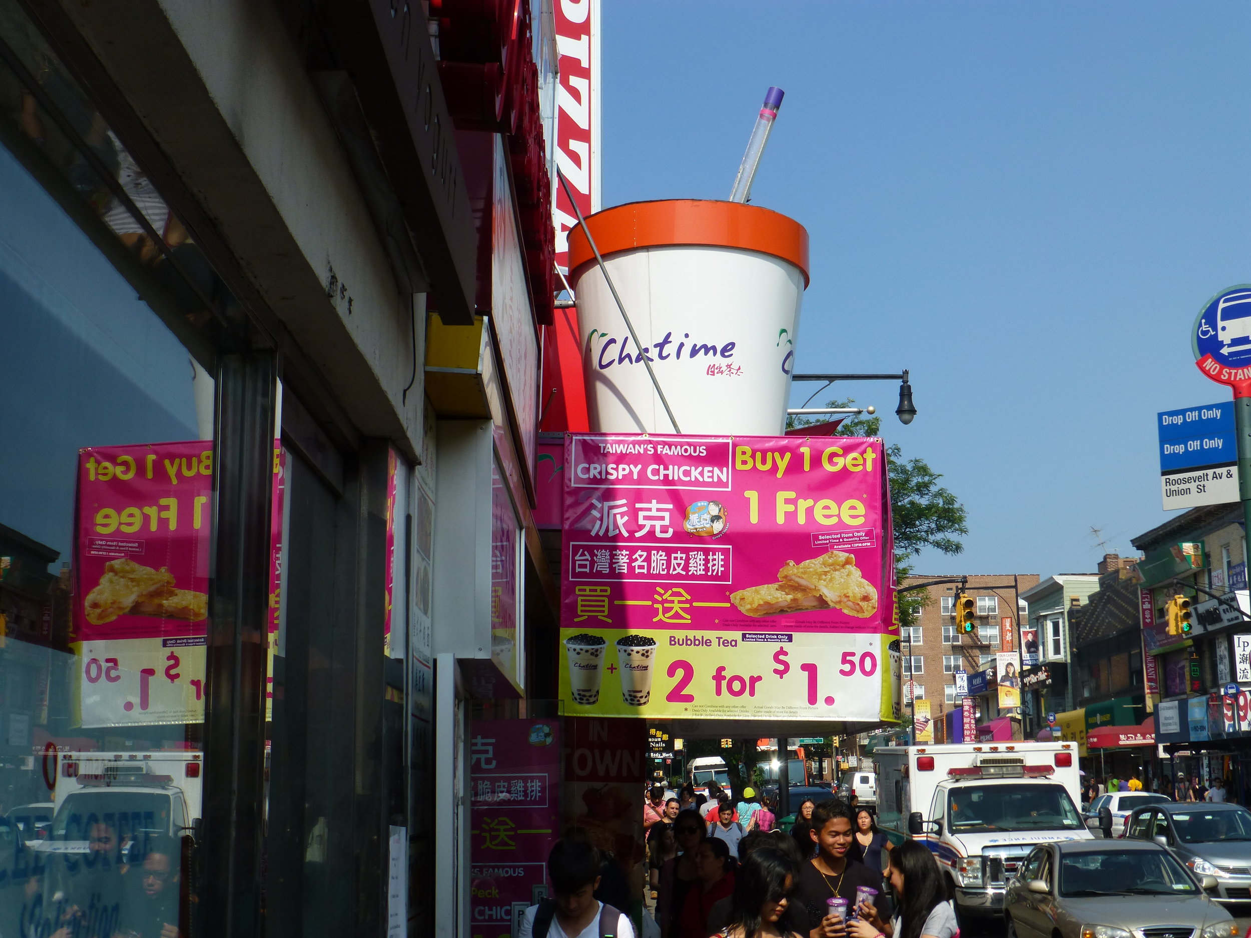
East of the Main-Roosevelt intersection are even more shops and cafes, especially bubble tea places, and a Sanrio store that’s always fun with kids.
Eater NY has a brilliant interactive map of their recommended restaurants in Flushing, and here’s an article on About.com with recommendations dining and shopping.
Where family travelers can stay:
Several family-friendly hotels are located within blocks of downtown and the Metro station – and considering how close they are to LaGuardia Airport, these are also great alternatives to staying on Manhattan:
Best Western Queens Court Hotel
Sheraton LaGuardia East Hotel
Hyatt Place Flushing/LaGuardia Airport Hotel
The Parc Hotel
What other family travel attractions are nearby?

Image by jschauma via Flickr, CC 2.0 license
One stop east on the 7 or LIRR drops travelers off at the Mets-Willis Point station, entrance to Flushing Meadows Corona Park, home of the 1964 World’s Fair, and also the Queens Zoo, NY Hall of Sciences, and the Queens Museum for Visual Arts (where they have a model of every building in New York City!)
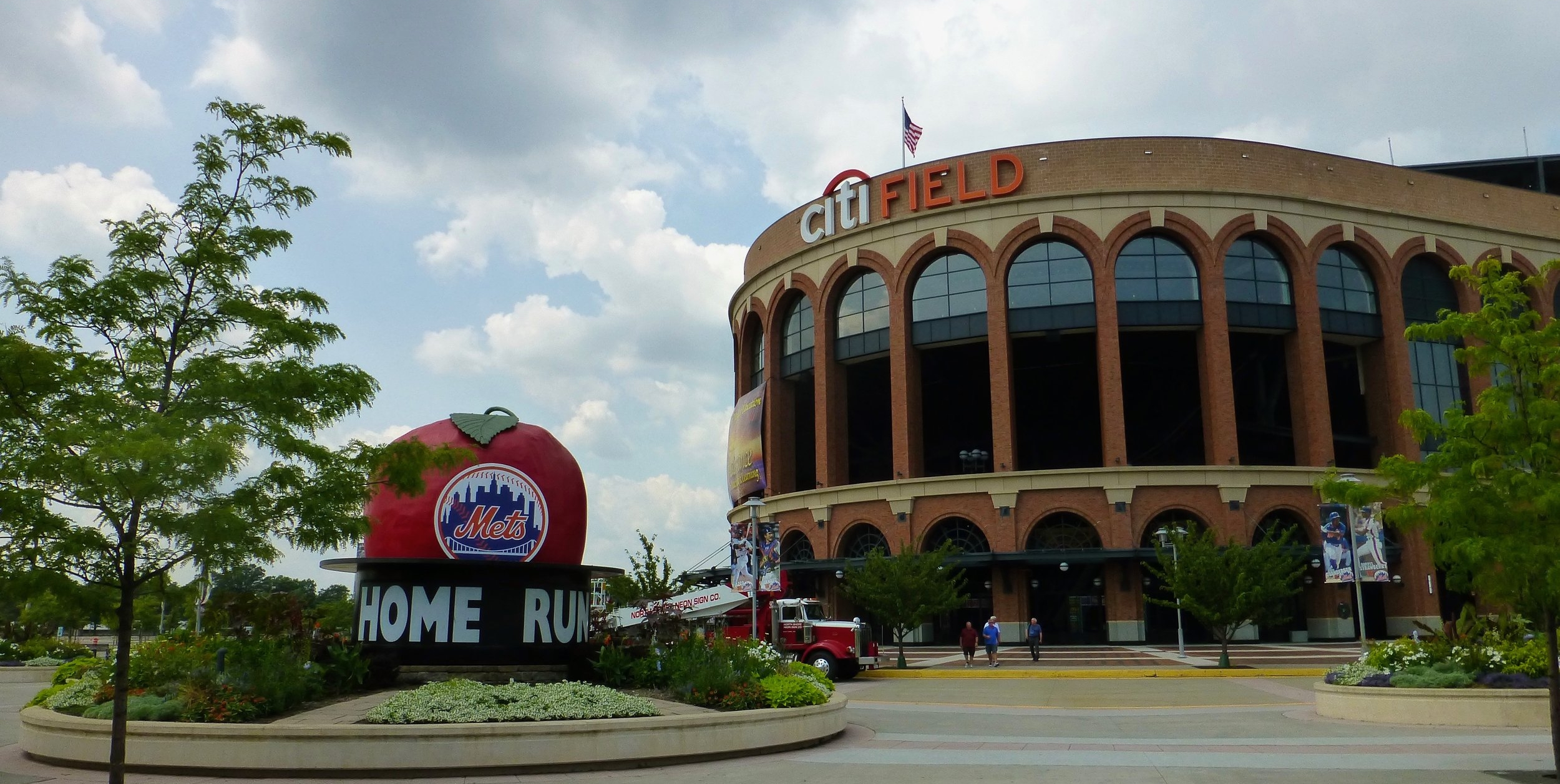
In season of course, the same train station serves Citi Field, home of the New York Mets and a fun ballpark to visit regardless of how well the team is playing…
A half-mile south on Main Street from downtown is the Queens Botanical Garden, which offers events and programs year-round.

And of course, between the 7 and the LIRR, all of Midtown Manhattan’s attractions are just a short ride away. Grand Central Station is worth a visit just to witness its stunning restoration, as well as to watch the steady flow of commuters (and eat at its excellent underground food court...)
See also:
Our Pinterest folder for New York City
And other interesting resources can be found at:
https://en.wikipedia.org/wiki/Chinatowns_in_Queens
http://nypost.com/2016/08/06/the-best-new-eateries-in-flushings-chinatown/
http://www.nycgo.com/articles/must-see-flushing-slideshow
http://freshnyc.com/blog/chinatown-new-york-city-manhattan-brooklyn-and-flushing-queens