


New York City - Brooklyn
/
“Moon Festival” by Joe Mazzola via Flickr, CC 2.0 license
How to get there:
Brooklyn holds amazing ethnic and religious diversity in its vast area, not just across the borough, but also within each of its dozens of neighborhoods. This is great for artistic, cultural, and economic development – but also makes it confusing for a visitor to stop in one place and try to get a complete picture.
Nine neighborhoods in the southwest corner of Brooklyn are experiencing the strongest growth in Asian population, but to narrow it down for travelers, the main concentrations are in Sunset Park along the 8th Avenue corridor, Bensonhurst along 86th Street, Marine Park in the Sheepshead Bay Road stretch, and Sheepshead Bay in the eastern end of Avenue U.

Click for full MTA subway map
MTA stations and trains that put travelers in easy walking range of these four corridors are:
8th Avenue – served by the N, Q, and W
in Bensonhurst, the 18th Avenue, 20th Avenue, and Bay Parkway stops – served by the D
Sheepshead Bay Road – served by the B and Q
Avenue U – served by the Q and the B3 bus line

Depending on the length of your stay, a multi-ride MetroCard from the MTA can represent a great bargain, and makes New York City very easy to get around.
Manhattan’s Chinatown links directly with Brooklyn’s – the Canal Street station serves both the N and the Q, and the Grand Street station serves the B and the D trains.

Click to open Google Maps
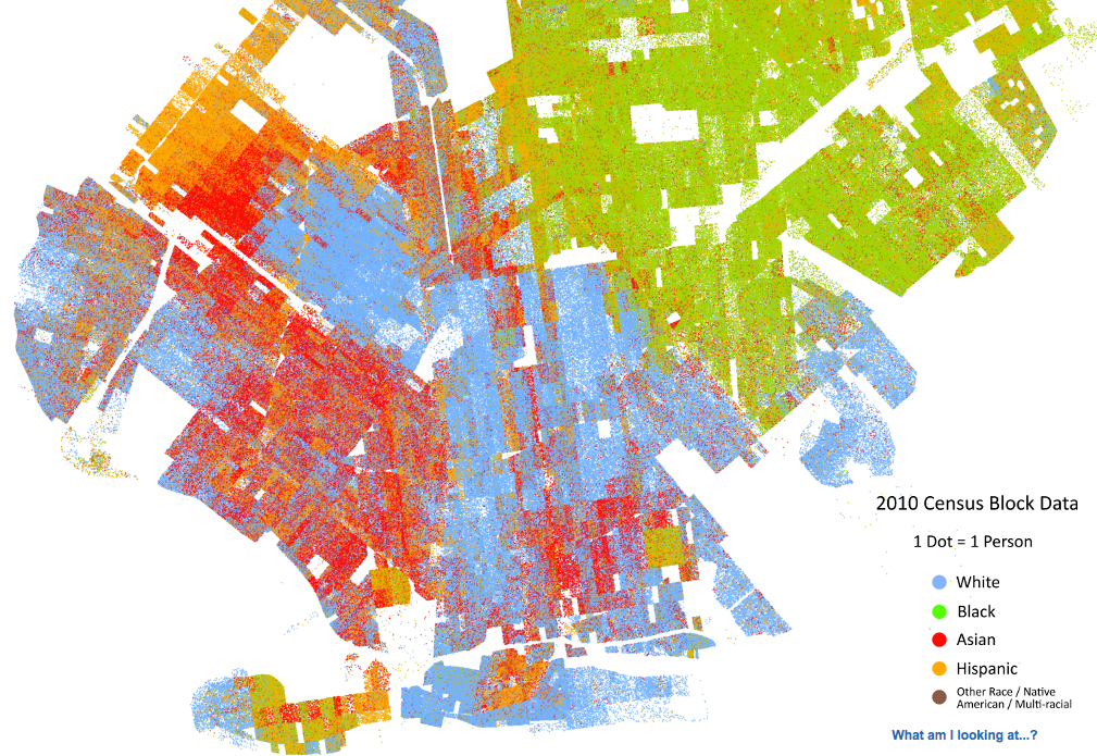
Click to open the fascinating University of Virginia Cooper Center Map Project to visualize ethnic patterns from the 2010 Census.
A brief history:
When New York City’s renaissance finally happened in the Clinton years, Manhattan’s rents increased radically without a corresponding increase in the stock of housing and commercial space. Residents of Chinatown and newcomers from East Asia figured out that Brooklyn’s real estate (in the 1990s and 2000s) was a comparative bargain, and the 20-30 minute train ride meant they didn’t have to give up ties with the original neighborhood and the Financial District.
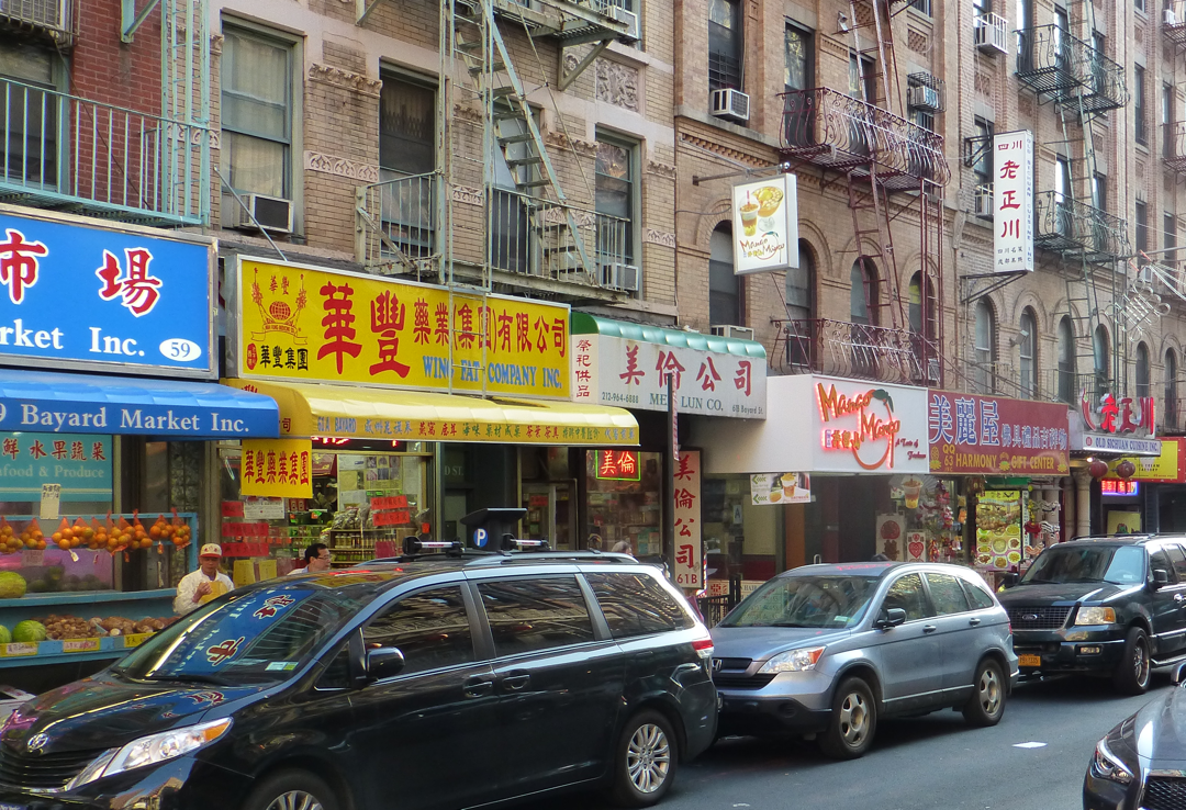
Much as migrants from Taiwan and Northern China decided to settle in Queens where the Mandarin dialect was common, instead of Manhattan’s Cantonese-dialect dominance, immigrants from Eastern China’s Fuzhou Province and nearby areas (speaking Hakka, Wenzhounese, Fujianese, and Shanghainese dialects) in the 2000s also bypassed Manhattan. Sunset Park is sometimes called “Little Fuzhou” in reference to this.

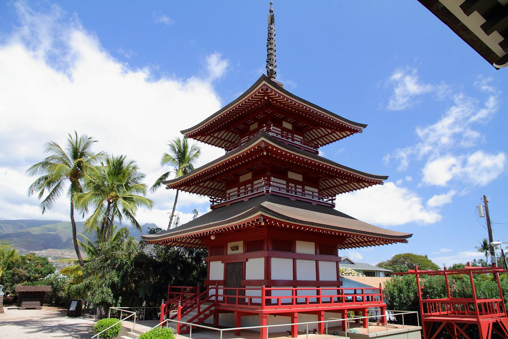
Image by Bcaspirit via Wikimedia Commons, CC 3.0 license
But also, Cantonese-speakers continue to arrive; some spurred on by the increasing Mainland domination of Hong Kong, others seeking security and education for their children, and others to park their money in America. They too have done the math and determined that Brooklyn is a good place; some Cantonese-influenced areas are now known as “Little Hong Kong”. Overall, the foreign-born Chinese population in Brooklyn increased from 86,000 in 2000 to 128,000 in 2013.

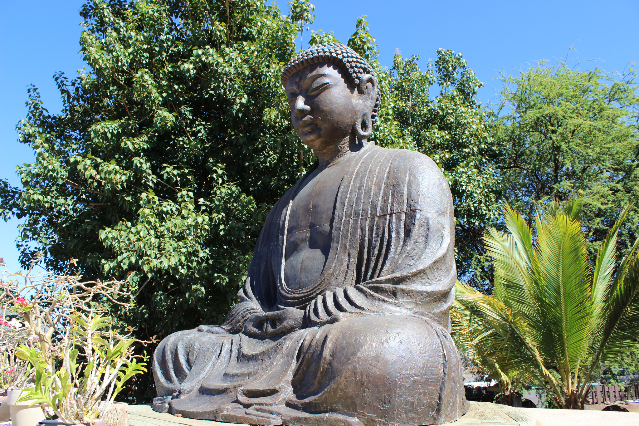
Image by Mark Chang via Flickr, CC 2.0 license
What to see and do:
Despite the impressive population and business growth, the Brooklyn Chinese neighborhoods are still building up; there are still significant Russian, Jewish, African-American, and Hispanic elements interspersed – and it really wouldn’t be New York City without them; the diverse mix and unexpected mashups of culture are what make NYC and America truly great.
But, with development spread out over so many miles, the critical mass has not yet been achieved to have significant shopping malls or temples built that would be a natural draw for cultural tourism.
.JPG)
Image by MusikAnimal via Wikimedia Commons, CC 4.0 license
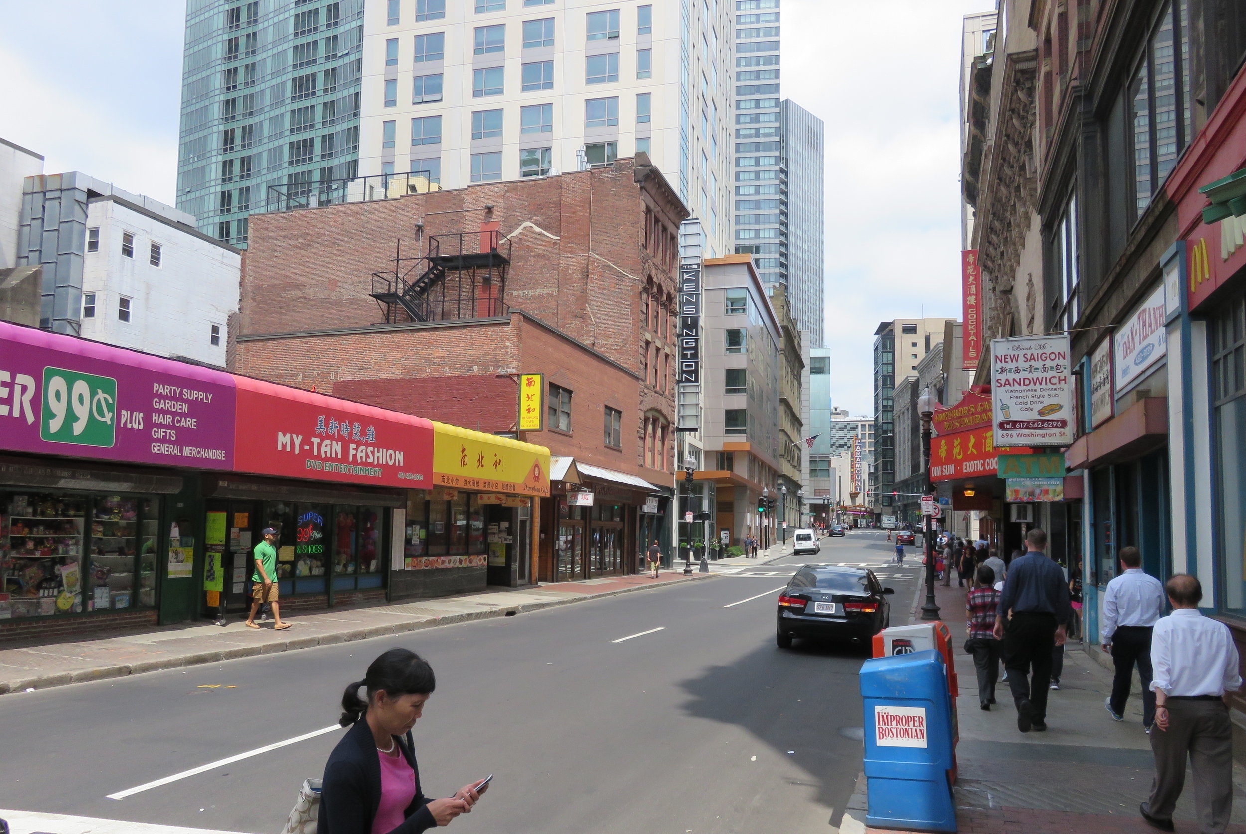
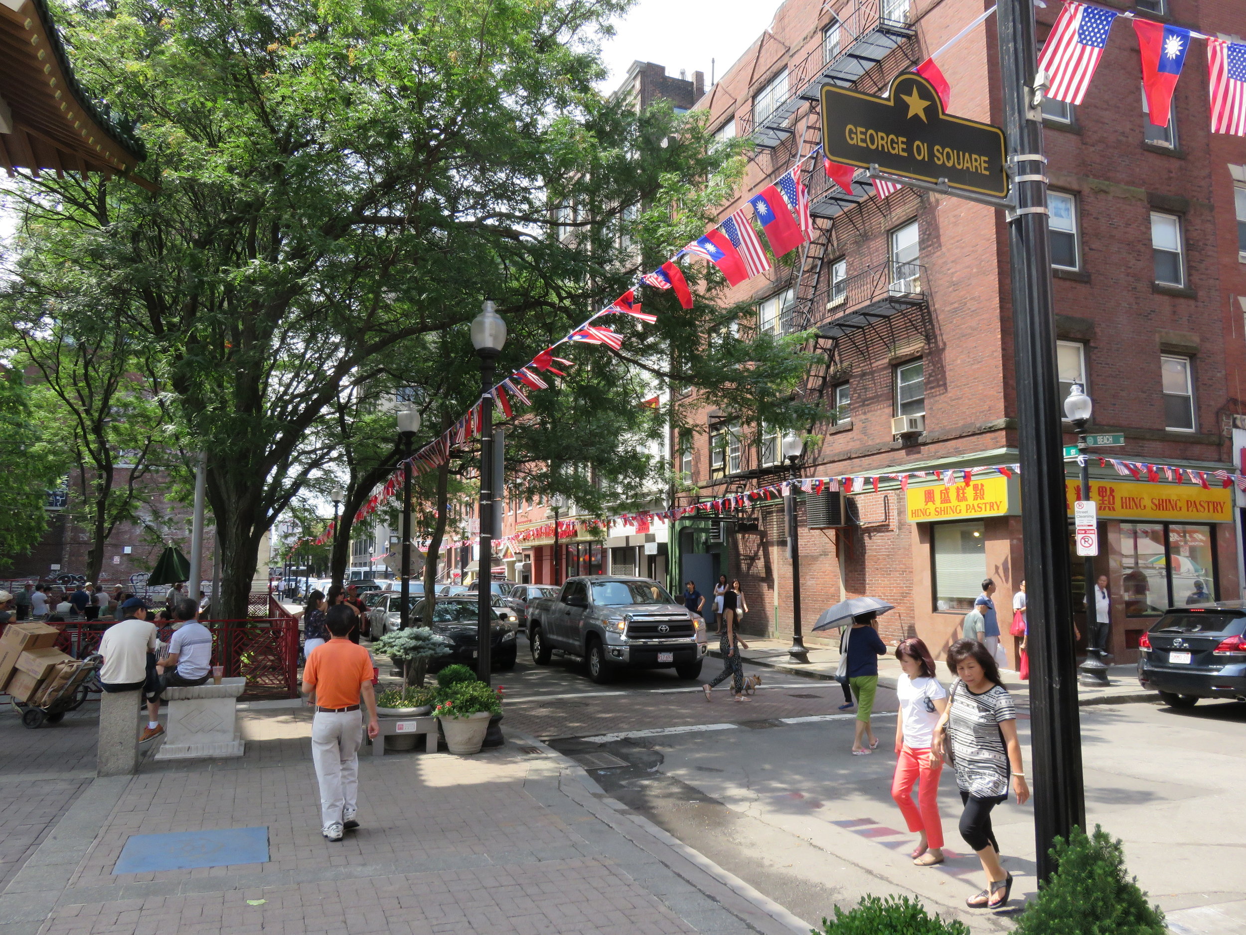
So, in the 2010s, the best place to get the “Brooklyn Chinatown” experience is on 8th Avenue. 8 is a lucky number in Asian cultures, and “8th Avenue” can be translated to “Road to Prosperity.” The MTA stop is open-air but below street level, and the bulk of Chinese businesses are between 6 blocks south and 20 blocks north of the station (62nd Street).
For several years there has been talk and tentative financing, but apparently no authorization, for a traditional Chinese entrance archway to be built over 8th Ave. between 64th-65th Streets. (Or perhaps 60th-61st.) If the arch is ever built, that would be the natural photo opportunity – however – for now the six blocks north of the train station hold the strongest concentration of small shops, cafes, and everyday service businesses for the local Chinese community. The low two- and three-story buildings give the neighborhood plenty of sun, and wide sidewalks are pleasant for a walk with the family.

Image by Jchan84442 via Wikimedia Commons, CC 4.0 license
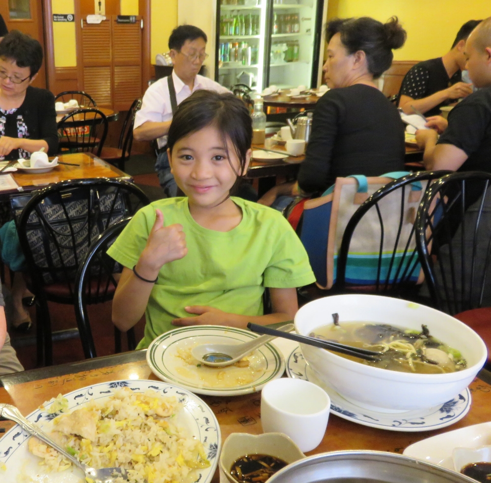
If it’s a small-town getaway you’re looking for after spending time among the skyscrapers of Manhattan, this is the place to go for an hour’s stroll, a nosh at a café and some picnic shopping before heading onward to other attractions in Brooklyn.
Where family travelers can stay:
Near the Union Street station, serving the N, R, W, and D lines, are the Holiday Inn Express-Brooklyn, Fairfield Inn & Suites by Marriott Brooklyn, and the Union Hotel.
Near the 36th Street station, serving the N, Q, R, W, and D lines, is the Wyndham Garden Brooklyn Sunset Park hotel.
In Bay Ridge, the Best Western Gregory Hotel on 4th Avenue is within walking distance of the 86th Street station on the R train.
In the Marine Park / Sheepshead Bay area, the Best Western Plus Brooklyn Bay Hotel and Comfort Inn are both conveniently located on Emmons Avenue, with access to the B and Q trains.
What other family travel attractions are nearby?

Image by acidpolly via Flickr, CC 2.0 license
Coney Island (with easy access on the F and Q lines) has been a classic family getaway for New Yorkers for generations – the Boardwalk, Luna Park, and Steeplechase Park are iconic attractions, and the NY Aquarium is also steps away.
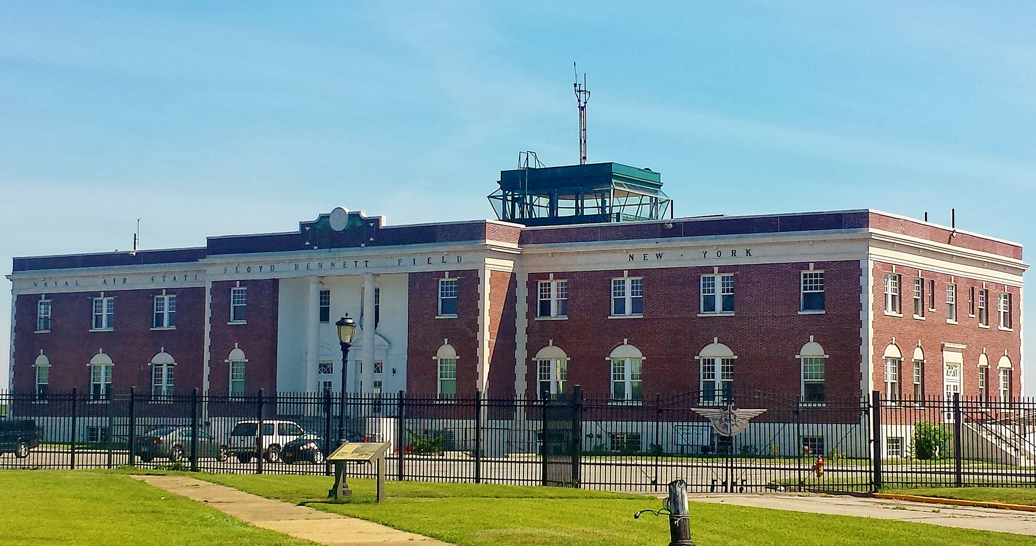
Image by gigi_nyc via Flickr, CC 2.0 license
Floyd Bennett Field (Q35 bus from the Brooklyn College/Flatbush Ave station on the 2 and 5 lines) is a long-abandoned airport that has been converted into sports, arts, and nature uses and is part of the Gateway National Recreation Area.

Image by Eli Mergel via Flickr, CC 2.0 license
Prospect Park (15th Street-Prospect Park station on the F and G lines for the west side; Prospect Park station on the B, Q, and S lines for the east side) is Brooklyn’s largest tract of parkland, with miles and miles of hiking trails around hills and lakes, programs for kids at the Audubon Center, skating and boating at the LeFrak Center, and includes attractions such as the Japanese Hill-and-Pond Garden, (part of the broader Brooklyn Botanic Garden), and the Prospect Park Zoo.
And of course, easy subway access makes all of Lower Manhattan’s attractions convenient to visit.
See also:
Our Pinterest folder for New York City
And other interesting resources can be found at:
en.wikipedia.org/wiki/Chinatowns_in_Brooklyn
http://www.borrowedculture.com/2011/05/10/brooklyn-8th-avenue-chinatown/